

604 metres above Lysefjord One of Norway's best-known hikes starts less than an hour from Stavanger. Walk through forest and granite terrain to the flat plateau above Lysefjord. The trail matters too The route is well prepared, but it is still a mountain hike: stone steps, exposed rock, changing weather and roughly 500 metres of elevation gain. Not only a summer hike Long summer days, quiet early starts, autumn light and winter conditions all create a different day on the mountain. In winter, equipment and experience matter much more.
Pulpit Rock – Preikestolen, Norway

Eight kilometres through real mountain terrain

Preikestolen changes with the season
 Lonely Planet“Best cliff-hanger of a hike”
 National Geographic“Norway’s travel poster moment”
 International recognitionCNN Go & Lonely Planet · 2011
The cliff you have seen in photographs. The hike is better in person.
Preikestolen rises 604 metres above Lysefjord in Ryfylke. The plateau itself is the famous part, but the route there is a proper part of the experience: birch forest, stone steps, open granite, small mountain lakes and the first views into the fjord before the cliff finally appears.
The main trail is about 8 km return and most hikers should allow around four hours for the hike itself. Add transport, breaks, weather and time on the plateau, and Preikestolen is best treated as a half-day or full-day experience rather than a quick photo stop.
Pulpit Rock at a glance
Built by first responders. Guided by first responders.
John and Gert Olsson founded TrollAdventure. Our guides come exclusively from first-responder backgrounds — including firefighters, police officers and medics. That experience shapes the way we guide: calm decisions, practical risk awareness, clear communication and close attention to weather, pace and changing mountain conditions. On Preikestolen, that means adapting the day to the people and the conditions rather than simply following a fixed plan.
Want the route, transport and timing handled for you? See our guided Pulpit Rock hike from Stavanger.
How the 8 km Pulpit Rock hike develops
The standard route is about 4 km each way with roughly 500 metres of total elevation gain. The climb is not one continuous slope. It comes in stages, with flatter sections between the steeper parts.
This is a simplified route profile to show how the hike feels, not a GPS elevation chart. For official trail information and the detailed height profile, see Preikestolen 365.
What the route is actually like
The trail starts at Preikestolen Basecamp. It is well marked and heavily improved, with stone steps, bridges and prepared sections through wet ground. That makes navigation straightforward in normal conditions, but it does not turn the route into a city walk.
You gain roughly 500 metres over the day. Some sections are steep, the granite can become slippery when wet, and the weather can change quickly. Most people who are reasonably active can complete the hike at a steady pace, but footwear, clothing and enough time make a big difference.
Near the end, the trail opens towards Lysefjord. The approach is part of what makes Preikestolen work so well: you do not see the full plateau from the beginning. It arrives late.
What to bring
- Good hiking shoes with grip
- Wind- and rain-resistant outer layer
- Extra warm layer
- Water and food
- Small backpack
- Headlamp when daylight is limited
- Winter traction equipment when conditions require it
Why Preikestolen is worth the walk
The plateau
The flat rock platform sits directly above Lysefjord and measures roughly 25 by 25 metres. There are no railings around the famous edge. Take your time and use common sense when moving around the plateau.
Lysefjord from above
The view is not a distant panorama. The fjord lies almost directly below the plateau, which gives the location its scale.
The changing trail
The route moves through forest, wetlands, stone stairways and exposed mountain terrain. It is varied enough that the walk rarely feels repetitive.
Early and late light
Summer gives long days. Starting early or later in the day can reduce the busiest periods and often gives softer light over the fjord.
Preikestolen is more than one viewpoint
 Early morning on the Pulpit Rock trail above Lysefjord
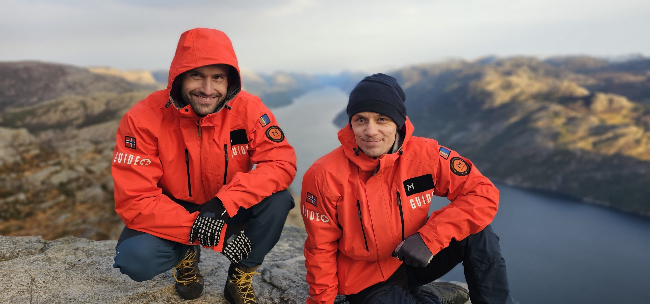 TrollAdventure guides on a winter Pulpit Rock hike
 Looking across Lysefjord from the Pulpit Rock route
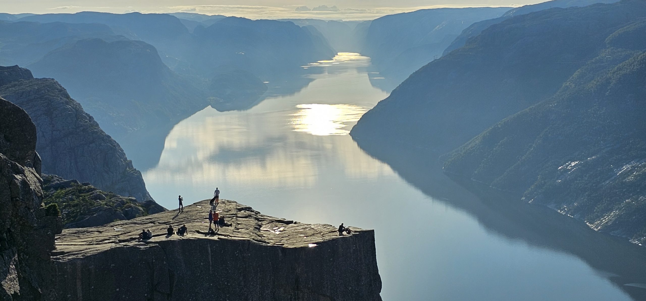 Morning light over Lysefjord from PreikestolenHikers on the Pulpit Rock plateau above Lysefjord
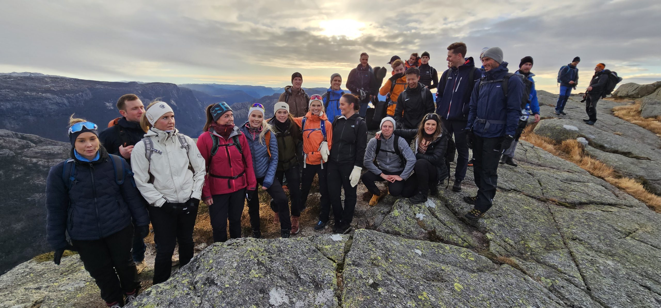 Group hike on the mountain above Stavanger and Lysefjord
 Evening light on the rocky Pulpit Rock trail
 Winter conditions on the trail to Preikestolen
 Local guide on the forest section of the route
 A quieter viewpoint above Lysefjord
 Hiking group on the cliffside trail above Lysefjord
From Stavanger to the trailhead
By car, Preikestolen is roughly 40 minutes from Stavanger via the Ryfast tunnel. The trail starts at the paid parking area beside Preikestolen Basecamp.
Seasonal direct buses also operate between Stavanger and the trailhead. Another option is to travel with a guided tour where transport is included, which removes the need to coordinate parking, buses and timing yourself.
Allow enough time
Four hours is a normal estimate for the hike alone. For a relaxed visit from Stavanger, plan for transport, breaks and time on the plateau as well. Weather or winter conditions can increase the time considerably.
When should you hike Preikestolen?
April to October
This is the main visitor season. Summer has the longest daylight and the highest number of hikers. Early morning and late-afternoon starts can be a good choice when conditions and daylight allow.
Autumn
Cooler air, lower light and fewer people can make autumn a strong time to hike, but shorter daylight means timing matters more.
Winter
Preikestolen can be reached year-round, but winter changes the hike. Snow, ice, wind and short daylight can require spikes or crampons, a headlamp and much more conservative decisions.
If you are not experienced with Norwegian winter mountain conditions, this is one of the times when going with a local guide makes practical sense.
Local judgement matters more than knowing the path
Do not build the day around the photograph
Give yourself time for the trail. The strongest part of a guided day is often what happens before and after the plateau: changing weather, quieter sections of trail, conversations and viewpoints that are easy to walk straight past.
Use the conditions, not a rigid clock
In summer, long daylight gives flexibility. In winter, the opposite is true. Start time, pace and turnaround decisions should reflect daylight, surface conditions and weather on that day.
Want the hike without the logistics?
Guided Pulpit Rock hike from Stavanger
We can handle transport, timing and the practical decisions around the hike. You still walk every metre yourself. The difference is that you have someone with you who knows the route, the weather patterns and how the mountain changes through the year.
Pulpit Rock, Kjerag, Trolltunga or Flørli 4444?
These are very different mountain days. Pulpit Rock is the most manageable introduction. Kjerag and Trolltunga demand considerably more time and fitness, while Flørli is defined by its steep 4,444-step staircase above Lysefjord.
| Hike | Difficulty | Duration | Good fit for | Tour |
|---|---|---|---|---|
| Pulpit Rock / Preikestolen | Moderate | About 4 h hiking / approx. 6 h tour | First-time visitors, cruise-day guests and active travellers wanting a manageable Lysefjord hike | See tour |
| Kjerag | Demanding | 10–12 h tour | Fit hikers comfortable with a long mountain day, steep climbs and exposed terrain | See tour |
| Trolltunga | Very demanding | Full-day hike | Experienced, fit hikers prepared for a long day in mountain terrain | See 4 Top Hikes tour |
| Flørli 4444 | Demanding | 10–12 h tour | Active travellers comfortable with a long, steep staircase and a different Lysefjord experience | See tour |
Trolltunga is currently included in our Norway’s 4 Top Hiking Adventures. A separate Trolltunga tour will be added later.
Want to hike Pulpit Rock with TrollAdventure?
Transport from Stavanger, local guidance and a day planned around the actual conditions.
Questions people ask before hiking Pulpit Rock
How long is the Pulpit Rock hike?
The standard route is about 8 km return and most hikers should allow around four hours for the hike itself.
How difficult is the hike?
It is generally classed as a moderate mountain hike. The trail is well prepared, but there are steep sections, uneven rock and roughly 500 metres of elevation gain.
How far is Pulpit Rock from Stavanger?
The trailhead is approximately a 40-minute drive from Stavanger in normal conditions.
Can I hike Preikestolen without a guide?
Yes, many people do in normal main-season conditions. A guide becomes more valuable if you want transport included, local knowledge, a quieter timing strategy or support in winter and more difficult conditions.
Can Preikestolen be hiked in winter?
Yes, but snow, ice and limited daylight can require winter traction, a headlamp and experience with changing mountain conditions. A guide is strongly recommended for visitors who do not have that experience.
Is the trail suitable for children?
Many families complete the hike, but suitability depends on the child’s hiking experience, weather, pace and ability to handle uneven mountain terrain. Allow extra time.
One mountain. A very good day.
See Pulpit Rock with people who know the route
Start in Stavanger. We take care of the logistics and guide the day around the conditions, not a rigid timetable.